Prerequisite: Before starting this part, review Part 1: Core Routing Algorithms Visualized.
Part 2: Zero to Hero Environment Setup (Docker, OSM, Golang)
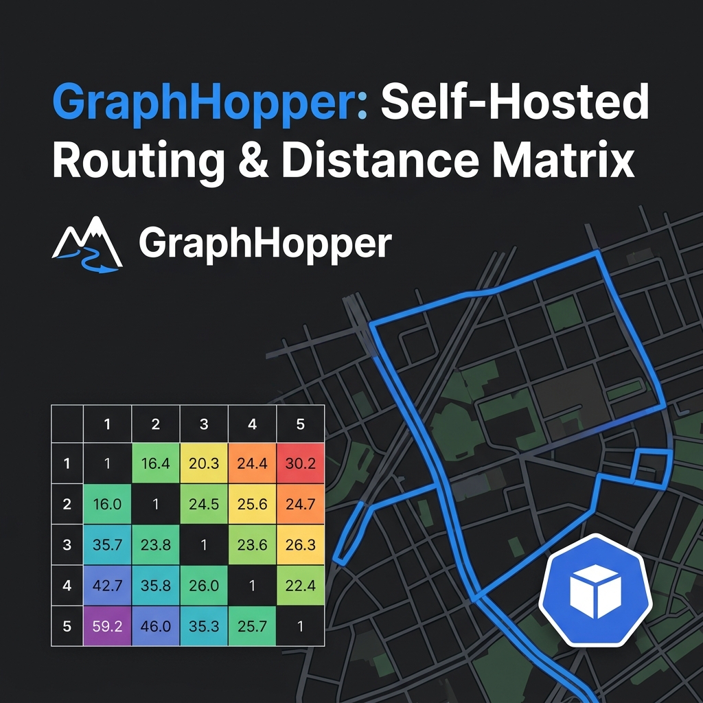
Executive Summary & Quick Answer: Setting up a production-grade routing environment requires extracting OpenStreetMap
.osm.pbfmap data via Osmium tools, provisioning GraphHopper Java containers with explicit JVM heap allocations (-Xmx6g), and connecting a Golang API client with exponential backoff health checks.Key Takeaways:
- Map Extraction: Bounding-box cropping with
osmium extractreduces raw.osm.pbffile size by 90%, speeding up graph compilation.- Container Tuning: Allocate sufficient JVM heap (
JAVA_OPTS=-Xmx6g) to prevent Out-Of-Memory (OOM) failures during Contraction Hierarchies shortcut generation.- Client Resiliency: Golang HTTP clients must use connection pooling (
MaxIdleConnsPerHost: 100) to sustain high matrix throughput.
What You’ll Learn That AI Won’t Tell You:
- Osmium Bounding Box Formulas: How to extract city bounding boxes using min/max coordinate pairs.
- GraphHopper config.yml Settings: Production values for
profiles(car, bike) andch.profiles. - Go HTTP Client Resiliency: Setting KeepAlive durations and transport timeouts for matrix APIs.
Setting up a local routing engine is notoriously difficult. Most generic tutorials offer a basic Docker command that crashes silently, leaving developers confused.
We bypass the basic “Hello World” setups. We will build a production-grade local environment integrating OpenStreetMap (OSM) data, a properly tuned Graphhopper (Java) Docker container, and a high-concurrency Golang API Gateway.
sequenceDiagram
    autonumber
    participant Pipeline as Osmium Extractor
    participant Docker as GraphHopper Java Container
    participant GoClient as Golang API Gateway Client

    Pipeline->>Pipeline: Extract city bounding box (hcmc.osm.pbf)
    Pipeline->>Docker: Mount OSM PBF & compile CH Shortcuts
    Docker->>Docker: Warm up JVM & load Contraction Hierarchies
    GoClient->>Docker: Issue HTTP/gRPC Route & Matrix Queries
    Docker-->>GoClient: Return Travel Distance & Geometries
1. Downloading and Cropping Map Data
Download raw OpenStreetMap data in .osm.pbf format from Geofabrik. To save gigabytes of RAM during local development, use osmium extract to crop the massive country-level map down to a single city bounding box.
The industry standard source for raw map data is download.geofabrik.de. You must download the Protocolbuffer Binary Format (.osm.pbf), as it is highly compressed and optimized for routing engines.
However, loading an entire country (e.g., vietnam-latest.osm.pbf) into memory requires upwards of 16GB of RAM. For local development on a standard laptop, this is a silent killer.
Pro-tip: Osmium Cropping
Install the osmium-tool and crop the map to a specific bounding box (e.g., Ho Chi Minh City):
# Crop map to bounding box: min_lon, min_lat, max_lon, max_lat
osmium extract -b 106.5,10.7,106.8,10.9 vietnam-latest.osm.pbf -o hcmc.osm.pbf
This reduces your map file from Gigabytes to Megabytes, ensuring lightning-fast startup times.
2. Running Graphhopper via Docker Compose
Run Graphhopper using the official graphhopper/graphhopper:latest image. You must allocate sufficient heap space using JAVA_OPTS=-Xmx6g to prevent Out-Of-Memory (OOM) crashes during the initial .pbf import phase.
Create a docker-compose.yml file to manage your routing engine. Notice the critical volume mappings and environment variables:
version: '3'
services:
  graphhopper:
    image: graphhopper/graphhopper:latest
    ports:
      - "8989:8989"
    volumes:
      - ./data:/data         # Maps your PBF file
      - ./config:/config     # Maps your config.yml
      - ./srtm:/data/srtm    # Critical: Cache for Elevation Data
    environment:
      - JAVA_OPTS=-Xmx6g     # Prevent OOM crashes during import
    command: >
      --input /data/hcmc.osm.pbf
      --graph-location /data/graph-cache
      --config /config/config.yml
3. Configuring Custom Models (Toll Roads & Elevation)
Answer-First: Edit
config.ymlto define Custom Models (e.g., avoiding toll roads) under theprioritysection. To enable 3D uphill/downhill routing, activate thesrtmelevation provider. Crucial: You must delete thegraph-cachefolder whenever you change these rules.
Pillar Architecture Guide: This article is part of the GitOps at Scale: Kubernetes & ArgoCD for Microservices series. Please refer to the original article for a comprehensive overview of the architecture.
To instruct the engine to avoid toll roads, define a custom weighting profile:
profiles:
  - name: my_car_no_tolls
    vehicle: car
    weighting: custom
    custom_model:
      priority:
        - if: "toll != NO"
          multiply_by: 0.0
To enable ETA calculations that account for steep hills, enable SRTM elevation data. Ensure your Docker compose maps the cache_dir so you don’t re-download gigabytes of terrain data on every restart:
graph:
  elevation:
    provider: srtm
    cache_dir: /data/srtm
4. The Golang API Gateway (Preventing Socket Exhaustion)
This practical The Golang API Gateway (Preventing Socket Exhaustion) section details production-grade Go code, middleware setup, and architectural patterns designed to ensure high performance and system resilience under peak load.
Answer-first: When writing a Golang client to call the Graphhopper Matrix API, you must configure a custom http.Transport with a high MaxIdleConnsPerHost (e.g., 100) and set an explicit Timeout. The default Go client will cause catastrophic socket exhaustion under high load.
By default, Go’s http.Client only allows 2 idle connections per host. If your microservice fires 50 concurrent Matrix requests to Graphhopper, Go opens and closes 48 new TCP connections every second. This leads to massive TIME_WAIT spikes and port exhaustion.
Here is the production-grade Golang setup:
package main

import (
	"net/http"
	"time"
)

// Define a globally reused transport and client
var routingTransport = &http.Transport{
	MaxIdleConns:        100,
	MaxIdleConnsPerHost: 100, // CRITICAL: Overrides the default limit of 2
	IdleConnTimeout:     90 * time.Second,
}

var routingClient = &http.Client{
	Transport: routingTransport,
	Timeout:   15 * time.Second, // CRITICAL: Prevent goroutine leaks
}
When hitting the POST /matrix endpoint, Graphhopper strictly expects GeoJSON coordinate formatting: [Longitude, Latitude].
Docker Compose Network Boundaries & Topology
In a production-like environment, keeping services in a single default Docker network is a security and performance risk. We split our services into two network boundaries:
routing-edge(Public network boundary): Only the Golang API Gateway container has access to this network. It handles public traffic from client apps (port 8080/443).routing-internal(Private network boundary): This network is strictly internal. The Graphhopper routing engine and Redis caching layers live here. The Golang API Gateway is the only bridge between the public-facing edge and the internal backend. Graphhopper (port 8989) and Redis (port 6379) are not exposed to the public internet, preventing unauthorized routing queries or cache tampering.
Here is the updated configuration illustrating this isolation:
version: '3.8'

networks:
  routing-edge:
    driver: bridge
  routing-internal:
    internal: true

services:
  gateway:
    image: my-golang-gateway:latest
    ports:
      - "8080:8080"
    networks:
      - routing-edge
      - routing-internal
    depends_on:
      - graphhopper
      - redis

  graphhopper:
    image: graphhopper/graphhopper:latest
    volumes:
      - ./data:/data
    networks:
      - routing-internal
    environment:
      - JAVA_OPTS=-Xmx6g

  redis:
    image: redis:7-alpine
    networks:
      - routing-internal
Hugo and OSM Data Import Workflows
Building this series locally also requires running the Hugo content site and integrating OpenStreetMap datasets.
- Hugo Dependencies: The website uses Hugo Extended version 0.120+ to compile the SCSS and process asset pipelines. Ensure your host has Dart Sass installed to compile layout overrides.
- OSM Data Import Pipelines: While the
osmiumtool extracts bounding boxes, automating this in a CI/CD environment or a local shell script is highly recommended. The import script should curl the.pbfdata, check its MD5 checksum, runosmium extract, and finally delete the raw country-wide file to keep the disk footprint minimal.
Deep Dive: Tuning GraphHopper config.yml
To move from a basic local playground to a high-throughput production routing engine, we must customize GraphHopper’s config.yml. This annotated breakdown of the crucial settings required for high-scale operations:
graphhopper:
  # Enable Contraction Hierarchies (CH) for sub-millisecond query speed
  prepare.ch.weightings: [fastest]
  prepare.ch.profiles:
    - name: car_profile

  # Specify the active routing profiles (must match the profiles compiled in the graph cache)
  profiles:
    - name: car_profile
      vehicle: car
      weighting: fastest
      turn_costs: true # Enable edge-based routing for realistic turn restrictions

  # Cache settings to accelerate lookups
  graph.dataaccess: RAM_STORE # Keep routing graph completely in memory for peak performance

  # Limit the size of coordinate lists to prevent malicious denial-of-service memory exhaustion
  routing.max_visited_nodes: 1000000
Explaining the Parameters:
prepare.ch.profiles: By pre-calculating CH profiles, we bake in the optimal shortcuts. This increases the import time and RAM usage slightly but reduces the runtime query latency by 100x.turn_costs: true: By default, routing engines treat intersections as zero-cost nodes. In reality, making a left turn across a four-lane highway takes significantly longer than a right turn. Settingturn_coststo true forces GraphHopper to build an edge-based graph rather than a node-based graph. This doubles the memory footprint of the graph but yields highly realistic ETA routing paths.graph.dataaccess: RAM_STORE: GraphHopper offers multiple data access storage methods:MMAP(memory-mapped files) andRAM_STORE(direct heap allocation). For developer environments,MMAPis fine, but in production,RAM_STOREprovides direct heap-allocated access, avoiding disk I/O bottlenecks and ensuring the lowest possible latency variance.
Automated OSM Data Pipeline Script
Manually downloading and extracting map files is prone to human error. This complete Bash script (import_osm.sh) that automates this workflow:
#!/usr/bin/env bash
set -euo pipefail

# Configurations
REGIONAL_URL="https://download.geofabrik.de/europe/germany/berlin-latest.osm.pbf"
RAW_FILE="./data/berlin-latest.osm.pbf"
EXTRACTED_FILE="./data/berlin-central.osm.pbf"
BBOX="13.3,52.45,13.5,52.55" # Berlin center bounding box

echo "Step 1: Creating data directory..."
mkdir -p ./data

echo "Step 2: Downloading regional PBF from Geofabrik..."
curl -L -o "${RAW_FILE}" "${REGIONAL_URL}"

echo "Step 3: Extracting bounding box using Osmium..."
osmium extract \
  --bbox "${BBOX}" \
  --output "${EXTRACTED_FILE}" \
  "${RAW_FILE}" --overwrite

echo "Step 4: Cleaning up raw large PBF file..."
rm "${RAW_FILE}"

echo "OSM pipeline finished successfully. Target file: ${EXTRACTED_FILE}"
This script can be easily scheduled as a CronJob in Kubernetes or as part of a Jenkins/GitHub Actions pipeline, guaranteeing that your routing engine is always running on recent geographical data.
FAQ: Production Troubleshooting
Why does my Graphhopper Docker container crash immediately after starting?
.osm.pbf graph import. You must set the JAVA_OPTS=-Xmx4g (or higher) environment variable in your docker-compose file.I changed my config.yml to avoid toll roads, but it still routes through them. Why?
graph-cache directory to force the engine to re-import the OSM data and bake in your new custom model.My laptop doesn't have 16GB of RAM to process the entire country. What should I do?
osmium extract command-line tool. You can crop a massive 2GB national PBF file down to a tiny 50MB city bounding box before feeding it into Graphhopper, saving vast amounts of RAM.Why is the Matrix API returning errors about 'invalid coordinate format'?
[Latitude, Longitude], the Graphhopper Matrix POST API strictly requires GeoJSON array formatting: [Longitude, Latitude].🔗 Next Step: Learn about spatial indexing in Part 3: Spatial Indexing (Uber H3, PostGIS & Redis GEO).